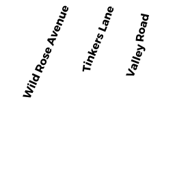
10 WILD ROSE AVE
Owner Information
COURTNEY MARGARET F TRUSTEE
103 RED PINE CIR
NEWARK, DE 19711 7014


Property Details
10 WILD ROSE AVE is classified as a Single Family Residential (Bungalow).
The primary structure on this property was built in 1945. There are 2,271ft2 of built area within this property. There is 888ft2 of residential/living space within this property. This property is listed as having 4 rooms.
10 WILD ROSE AVE is valued at $238,700. The land is valued at $112,100 and the structures are valued at $123,800. There is an additional valuation of $2,800 on this property.
This property is in Zone MR30. Confirm with local Zoning Board authorities to ensure there are no overlays or other easements on this property.
The most recent deed for 10 WILD ROSE AVE is recorded at the local registrar in Book 0541, Page 0123. 10 WILD ROSE AVE was last sold on Monday, November 28, 2005 for $1.
Assessment data from fiscal year 2022.
Flood Data
This property is completely within the AE Zone (within floodplain).
The base flood elevation for this flood zone is 14 feet.
This information is sourced from the FEMA National Flood Hazard Layer. See our full disclamer.
Broadband Internet Providers
| Provider | Type | Bandwidth (mbps) | |
|---|---|---|---|
| HughesNet | Satellite | 25 | 3 |
| Viasat Inc | Satellite | 35 | 3 |
| Comcast | Cable | 1000 | 35 |
| Verizon New England Inc. | Fiber | 940 | 880 |
| Verizon New England Inc. | DSL | 5 | 0 |
| GCI Communication Corp. | Satellite | 0 | 0 |
| VSAT Systems, LLC. | Satellite | 2 | 1 |
Broadband service provider data from December 2020.
Adjacent Properties
- 0 TERRY LN
Improved, Selectmen or City Council (Municipal) owned by TOWN OF WAREHAM - 0 FONSECA WY
Undevelopable Residential Land owned by CORNERSTONE ESTATES 2 - 1 TINKER'S LN
Single Family Residential owned by MOORE GARY L - 3 TINKER'S LN
Single Family Residential owned by MILES VICTORIA - 12 WILD ROSE AVE
Undevelopable Residential Land owned by MCCANN FREDERIC ET ALS